20+
years of experience
Results across surveying, topography and UAV mapping.
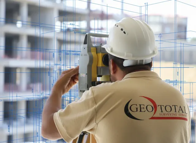
GeoTotal LLC has been providing high-precision geodetic and topographic services for construction, infrastructure, and industrial projects since 2009. Our main goal is to support our clients professionally by delivering accurate, fast, and reliable engineering data at all stages of projects, from planning to execution. Over the years, through our experience and successfully completed projects, we have established ourselves as a strong and trusted partner in the field.

We offer specially tailored geodetic and topographic services to ensure the accuracy and success of your project

Fill out the form to receive detailed information about our services, and our team will contact you shortly.
Data generated from topographic surveys is transformed into realistic project models.

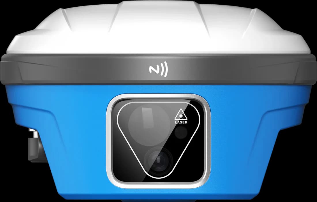
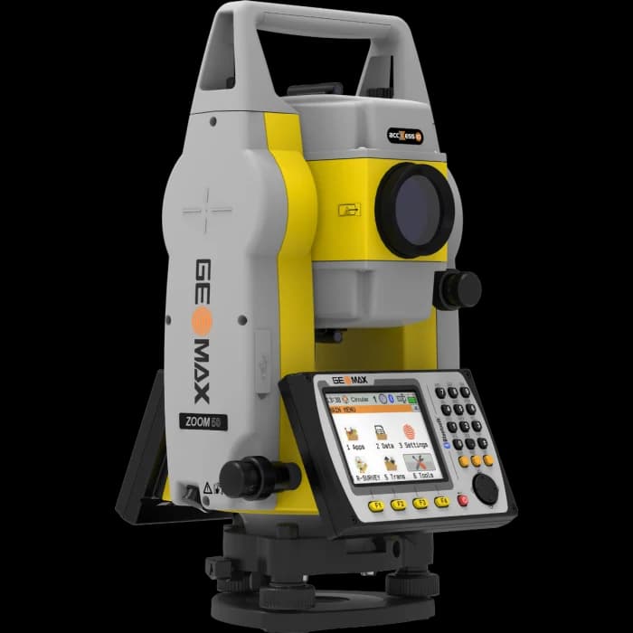
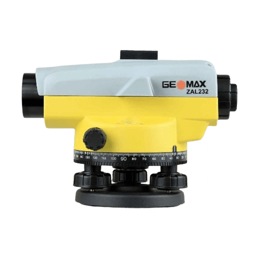
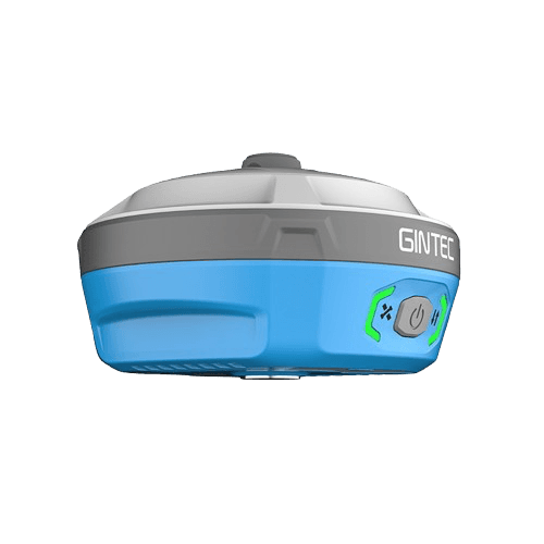
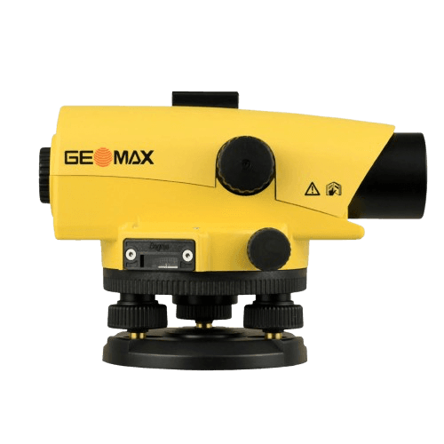
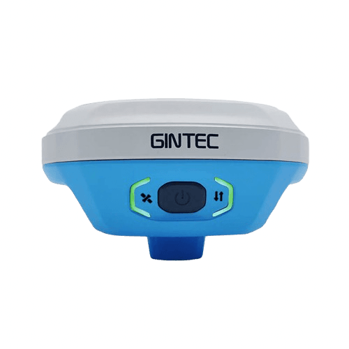
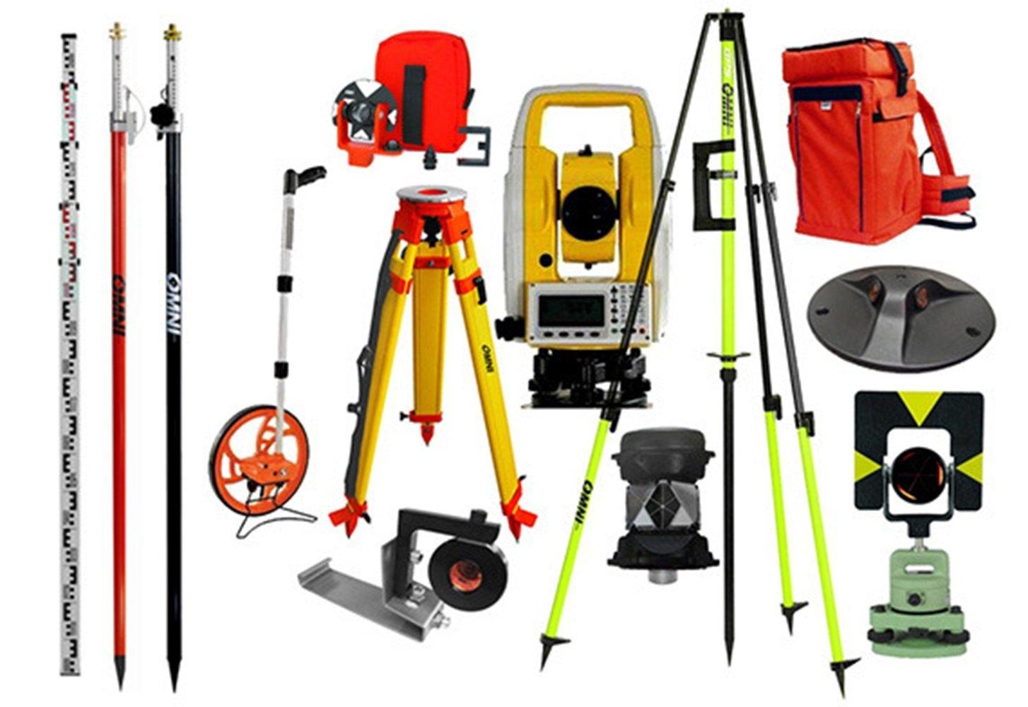
We provide modern surveying products that ensure precision and reliability in geodesy and topography.